
Key West topographic map
Click on the map to display elevation.
Key West
Key West is an island located at 24°33′55″N 81°46′33″W / 24.565176°N 81.775794°W / 24.565176; -81.775794 in the Straits of Florida. The island is about 4 miles (6 km) long and 1 mile (2 km) wide, with a total land area of 4.2 square miles (10.9 km2; 2,688.0 acres). The average elevation above sea level is about 8 feet (2.4 m) and the maximum elevation is about 18 feet (5.5 m), within a 1-acre (0-hectare) area known as Solares Hill.
About this map
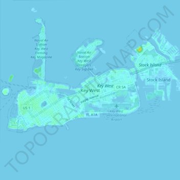
Name: Key West topographic map, elevation, terrain.
Location: Key West, Monroe County, Florida, 33040, United States (24.52256 -81.81244 24.60256 -81.73244)
Average elevation: 3 ft
Minimum elevation: -7 ft
Maximum elevation: 79 ft
Monroe County trails, hiking, mountain biking, running and outdoor activities