
Zetten topographic map
Interactive map
Click on the map to display elevation.
About this map
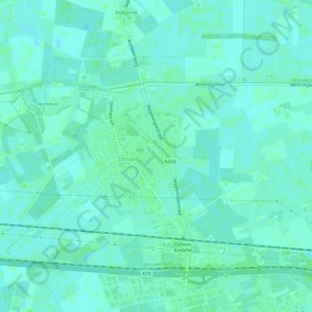
Name: Zetten topographic map, elevation, terrain.
Location: Zetten, Overbetuwe, Gelderland, Netherlands, The Netherlands (51.91579 5.69220 51.94149 5.74702)
Average elevation: 26 ft
Minimum elevation: 16 ft
Maximum elevation: 39 ft
Other topographic maps
Click on a map to view its topography, its elevation and its terrain.
Elst
The Netherlands > Gelderland > Overbetuwe
Elst, Overbetuwe, Gelderland, Netherlands, The Netherlands
Average elevation: 33 ft
Overbetuwe
The Netherlands > Gelderland > Overbetuwe
Overbetuwe, Gelderland, Netherlands, The Netherlands
Average elevation: 43 ft
Randwijk
The Netherlands > Gelderland > Overbetuwe
Randwijk, Overbetuwe, Gelderland, Netherlands, The Netherlands
Average elevation: 33 ft