
Thank you for supporting this site ❤️
Make a donation
Make a donation
Gear up for your next adventure:
As an Amazon Associate, this site earns from qualifying purchases at no extra cost to you.
Kertek topographic map
Click on the map to display elevation.
Thank you for supporting this site ❤️
Make a donation
Make a donation
Gear up for your next adventure:
As an Amazon Associate, this site earns from qualifying purchases at no extra cost to you.
About this map
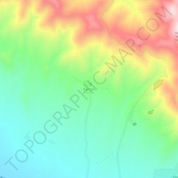
Name: Kertek topographic map, elevation, terrain.
Location: Kertek, Sivrihisar, Eskişehir, Central Anatolia Region, Turkey (39.46319 31.37586 39.50319 31.41586)
Average elevation: 3,907 ft
Minimum elevation: 3,284 ft
Maximum elevation: 4,997 ft
Thank you for supporting this site ❤️
Make a donation
Make a donation
Gear up for your next adventure:
As an Amazon Associate, this site earns from qualifying purchases at no extra cost to you.