Geolocate

Brighton topographic map

Click on the map to display elevation.

About this map
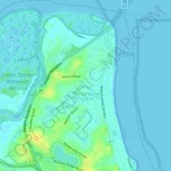
Name: Brighton topographic map, elevation, terrain.

Location: Brighton, City of Brisbane, Queensland, Australia (-27.31387 153.04367 -27.27867 153.07064)

Average elevation: 13 ft

Minimum elevation: -3 ft

Maximum elevation: 72 ft

Gear up for your next adventure:

🗺️NatGeo Topo Maps - High-quality waterproof printed topographic maps of US Parks
🦺Reflective Outdoor Gear - Safety gear for low‑light conditions
🌎3D Topographic Globes - Raised relief globes for a tactile understanding of geography
🧣Hiking Neck Gaiter - Multi‑use neck protection for outdoor weather
🔌USB Car Charger - Car charger for on‑the‑go power needs

As an Amazon Associate, this site earns from qualifying purchases at no extra cost to you.