
Općina Privlaka topographic map
Interactive map
Click on the map to display elevation.
About this map
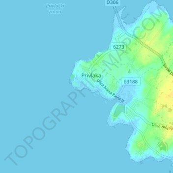
Name: Općina Privlaka topographic map, elevation, terrain.
Location: Općina Privlaka, Zadar County, 23233, Croatia (44.23663 15.11120 44.27999 15.16512)
Average elevation: 7 ft
Minimum elevation: -13 ft
Maximum elevation: 59 ft