Geolocate

Calsazio topographic map

Click on the map to display elevation.

About this map

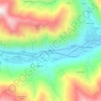
Name: Calsazio topographic map, elevation, terrain.

Location: Calsazio, Sparone, Torino, Piemonte, Italia (45.38795 7.50088 45.42795 7.54088)

Average elevation: 3,064 ft

Minimum elevation: 1,686 ft

Maximum elevation: 5,144 ft

Gear up for your next adventure:

Solar GPS Watches - Advanced multisport watches with built-in topographic maps
🔊Portable Camp Speaker - Music and alerts at camp
🦶Carbon Trekking Poles - Reduce knee impact on steep descents with ultra-light poles
🥤Water Filter Bottle - All‑in‑one filter bottle for safe hydration
🏔️Mountain Trail Maps - High‑detail maps for popular peaks

As an Amazon Associate, this site earns from qualifying purchases at no extra cost to you.