
Elk Shoal topographic map
Interactive map
Click on the map to display elevation.
About this map
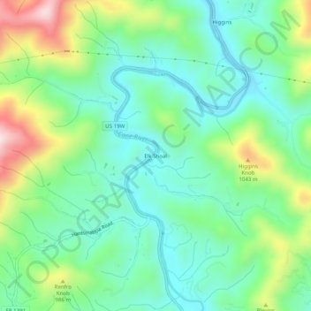
Name: Elk Shoal topographic map, elevation, terrain.
Location: Elk Shoal, Yancey County, North Carolina, United States (35.92233 -82.41069 35.96233 -82.37069)
Average elevation: 2,831 ft
Minimum elevation: 2,372 ft
Maximum elevation: 3,894 ft
Yancey County trails, hiking, mountain biking, running and outdoor activities