
Make a donation
Gear up for your next adventure:
As an Amazon Associate, this site earns from qualifying purchases at no extra cost to you.
Chanasma topographic map
Click on the map to display elevation.
Make a donation
Gear up for your next adventure:
As an Amazon Associate, this site earns from qualifying purchases at no extra cost to you.
Chanasma
Chanasma is located at 23°43′N 72°07′E / 23.72°N 72.12°E / 23.72; 72.12. It has an average elevation of 61 metres (200 feet).
Make a donation
Gear up for your next adventure:
As an Amazon Associate, this site earns from qualifying purchases at no extra cost to you.
About this map
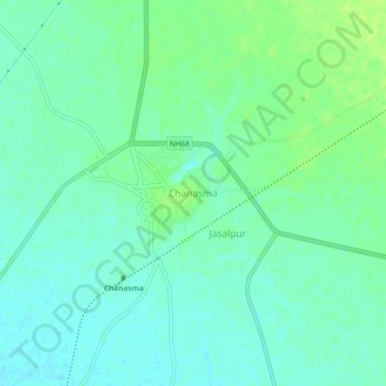
Name: Chanasma topographic map, elevation, terrain.
Location: Chanasma, Chanasma Taluka, Patan, Gujarat, 384220, India (23.69505 72.09502 23.73505 72.13502)
Average elevation: 223 ft
Minimum elevation: 203 ft
Maximum elevation: 243 ft
Make a donation
Gear up for your next adventure:
As an Amazon Associate, this site earns from qualifying purchases at no extra cost to you.