Geolocate

Skeleton Lake topographic map

Click on the map to display elevation.

About this map

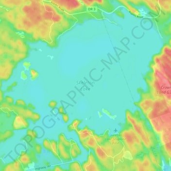
Name: Skeleton Lake topographic map, elevation, terrain.

Location: Skeleton Lake, Muskoka Lakes Township, District Municipality of Muskoka, Muskoka District, Central Ontario, Ontario, Canada (45.22121 -79.50123 45.27702 -79.41351)

Average elevation: 978 ft

Minimum elevation: 906 ft

Maximum elevation: 1,138 ft

Other topographic maps

Click on a map to view its topography, its elevation and its terrain.

Gear up for your next adventure:

🖼️Topo Map Wall Art - Decorative topographic prints of famous peaks and regions
👖Convertible Hiking Pants - Versatile zip-off pants for changing altitudes and temperatures
🔥Plasma Lighters - Windproof lighters that work in any weather condition
🔦Compact Flashlight - Reliable flashlight for emergencies
🧷Carabiner Set - Durable clips for gear attachment

As an Amazon Associate, this site earns from qualifying purchases at no extra cost to you.