Geolocate

Delmont topographic map

Click on the map to display elevation.

About this map

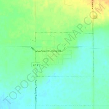
Name: Delmont topographic map, elevation, terrain.

Location: Delmont, Douglas County, South Dakota, United States (43.26109 -98.17069 43.27216 -98.14904)

Average elevation: 1,483 ft

Minimum elevation: 1,447 ft

Maximum elevation: 1,542 ft

Douglas County trails, hiking, mountain biking, running and outdoor activities

Gear up for your next adventure:

🌄Hiking Binoculars - Compact binoculars for scenic views and trail spotting
📡Handheld GPS Device - Reliable handheld GPS for outdoor navigation
🧷Carabiner Set - Durable clips for gear attachment
🧭Orienteering Set - Complete compass and map reading kit
🪶Trail Camera - Capture wildlife on your hikes

As an Amazon Associate, this site earns from qualifying purchases at no extra cost to you.