Geolocate

Sungar topographic map

Click on the map to display elevation.

About this map

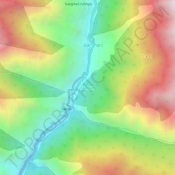
Name: Sungar topographic map, elevation, terrain.

Location: Sungar, Bhatwari, Uttarkashi, Uttarakhand, 249135, India (30.87324 78.65825 30.91324 78.69825)

Average elevation: 7,982 ft

Minimum elevation: 5,801 ft

Maximum elevation: 10,909 ft

Gear up for your next adventure:

🧤Hiking Gloves - Protective gloves for rugged trails
🪶LED Camping Lantern - Bright lantern for camp lighting
🪶Fire Starter Kit - Reliable fire starter for survival and camping
🌄Hiking Binoculars - Compact binoculars for scenic views and trail spotting
📶Vehicle Signal Boosters - Improve reception in rural areas while driving to trailheads

As an Amazon Associate, this site earns from qualifying purchases at no extra cost to you.