
Horseshoe Bay topographic map
Click on the map to display elevation.
About this map
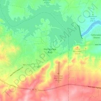
Name: Horseshoe Bay topographic map, elevation, terrain.
Location: Horseshoe Bay, Llano County, Texas, 78657, United States (30.50421 -98.40698 30.58421 -98.32698)
Average elevation: 938 ft
Minimum elevation: 735 ft
Maximum elevation: 1,207 ft
Llano County trails, hiking, mountain biking, running and outdoor activities