Geolocate

Hythe topographic map

Click on the map to display elevation.

About this map

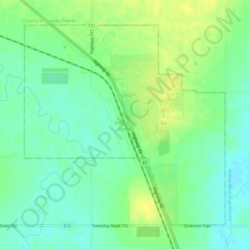
Name: Hythe topographic map, elevation, terrain.

Location: Hythe, Village of Hythe, Alberta, Canada (55.31610 -119.57693 55.33778 -119.53868)

Average elevation: 2,448 ft

Minimum elevation: 2,415 ft

Maximum elevation: 2,480 ft

Gear up for your next adventure:

🪶Multi‑Purpose Knife - Useful blade for camp and trail
🎒Trail Energy Bars - High‑calorie bars for hiking energy
🧣Merino Neck Gaiters - Multi-functional headwear for wind and sun protection
🪶LED Camping Lantern - Bright lantern for camp lighting
🧦Hiking Socks - Comfortable socks to prevent blisters on long hikes

As an Amazon Associate, this site earns from qualifying purchases at no extra cost to you.