Geolocate

Mount Foraker topographic map

Click on the map to display elevation.

About this map

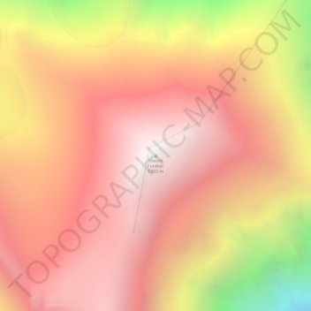
Name: Mount Foraker topographic map, elevation, terrain.

Location: Mount Foraker, Denali Borough, Alaska, United States (62.96046 -151.39870 62.96056 -151.39860)

Average elevation: 15,256 ft

Minimum elevation: 11,125 ft

Maximum elevation: 17,382 ft

Denali Borough trails, hiking, mountain biking, running and outdoor activities

Other topographic maps

Click on a map to view its topography, its elevation and its terrain.

Anderson

United States > Alaska > Denali Borough

Average elevation: 561 ft

Cantwell

United States > Alaska > Denali Borough

Average elevation: 3,622 ft

Foraker Glacier

United States > Alaska > Denali Borough

Average elevation: 6,890 ft

Denali Park

United States > Alaska > Denali Borough

Average elevation: 3,445 ft

Anderson

United States > Alaska > Denali Borough

Average elevation: 561 ft

Cantwell

United States > Alaska > Denali Borough

Average elevation: 3,622 ft

Cantwell

United States > Alaska > Denali Borough

Average elevation: 3,622 ft

Gear up for your next adventure:

🛡️Insect Repellent - Protection against bugs during outdoor activities
🛠️Backpacking Tool Kit - Essential toolkit for outdoor repairs
🦶Carbon Trekking Poles - Reduce knee impact on steep descents with ultra-light poles
😴Insulated Sleeping Pads - Compact and warm pads for high-elevation camping
🧭Orienteering Set - Complete compass and map reading kit

As an Amazon Associate, this site earns from qualifying purchases at no extra cost to you.