
Thank you for supporting this site ❤️
Make a donation
Make a donation
Gear up for your next adventure:
As an Amazon Associate, this site earns from qualifying purchases at no extra cost to you.
Hondagua topographic map
Click on the map to display elevation.
Thank you for supporting this site ❤️
Make a donation
Make a donation
Gear up for your next adventure:
As an Amazon Associate, this site earns from qualifying purchases at no extra cost to you.
About this map
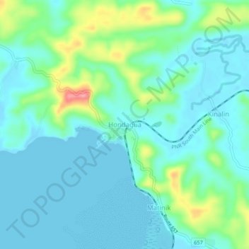
Name: Hondagua topographic map, elevation, terrain.
Location: Hondagua, Lopez, Quezon, Calabarzon, Philippines (13.92721 122.22342 13.96721 122.26342)
Average elevation: 72 ft
Minimum elevation: -10 ft
Maximum elevation: 331 ft
Thank you for supporting this site ❤️
Make a donation
Make a donation
Gear up for your next adventure:
As an Amazon Associate, this site earns from qualifying purchases at no extra cost to you.