
Culebras topographic map
Interactive map
Click on the map to display elevation.
About this map
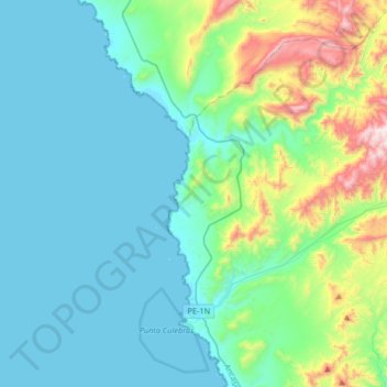
Name: Culebras topographic map, elevation, terrain.
Location: Culebras, Provincia de Huarmey, Áncash, Perú (-9.99459 -78.24451 -9.68911 -77.91550)
Average elevation: 610 ft
Minimum elevation: 0 ft
Maximum elevation: 3,350 ft
Other topographic maps
Click on a map to view its topography, its elevation and its terrain.