
Ketalem and Sadat Shahr topographic map
Interactive map
Click on the map to display elevation.
About this map
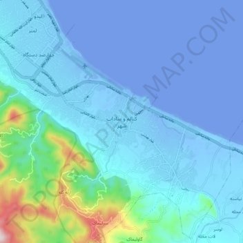
Name: Ketalem and Sadat Shahr topographic map, elevation, terrain.
Average elevation: 190 ft
Minimum elevation: -95 ft
Maximum elevation: 1,932 ft