
Make a donation
Gear up for your next adventure:
As an Amazon Associate, this site earns from qualifying purchases at no extra cost to you.
Los Queltehues topographic map
Click on the map to display elevation.
Make a donation
Gear up for your next adventure:
As an Amazon Associate, this site earns from qualifying purchases at no extra cost to you.
About this map
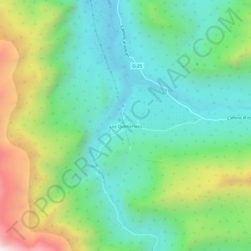
Name: Los Queltehues topographic map, elevation, terrain.
Average elevation: 5,312 ft
Minimum elevation: 4,160 ft
Maximum elevation: 7,917 ft
Make a donation
Gear up for your next adventure:
As an Amazon Associate, this site earns from qualifying purchases at no extra cost to you.
Other topographic maps
Click on a map to view its topography, its elevation and its terrain.
Parque Natural El Yeso-Laguna Negra
Chile > Región Metropolitana de Santiago > Provincia de Cordillera > San José de Maipo
Average elevation: 9,652 ft
Monumento Natural El Morado
Chile > Región Metropolitana de Santiago > Provincia de Cordillera > San José de Maipo
Average elevation: 9,564 ft
Museo
Chile > Región Metropolitana de Santiago > Provincia de Cordillera > San José de Maipo
Average elevation: 11,056 ft