
Thiba topographic map
Interactive map
Click on the map to display elevation.
About this map
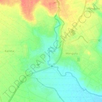
Name: Thiba topographic map, elevation, terrain.
Location: Thiba, Kirinyaga County, Kenya (-0.70330 37.33000 -0.66330 37.37000)
Average elevation: 3,776 ft
Minimum elevation: 3,701 ft
Maximum elevation: 3,865 ft