
Thank you for supporting this site ❤️
Make a donation
Make a donation
Gear up for your next adventure:
As an Amazon Associate, this site earns from qualifying purchases at no extra cost to you.
Hiran Khuri topographic map
Click on the map to display elevation.
Thank you for supporting this site ❤️
Make a donation
Make a donation
Gear up for your next adventure:
As an Amazon Associate, this site earns from qualifying purchases at no extra cost to you.
About this map
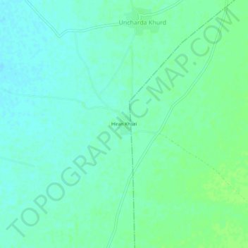
Name: Hiran Khuri topographic map, elevation, terrain.
Location: Hiran Khuri, Merta Tehsil, Nagaur, Rajasthan, India (26.54183 73.96451 26.58183 74.00451)
Average elevation: 1,014 ft
Minimum elevation: 997 ft
Maximum elevation: 1,030 ft
Thank you for supporting this site ❤️
Make a donation
Make a donation
Gear up for your next adventure:
As an Amazon Associate, this site earns from qualifying purchases at no extra cost to you.