
North Windham topographic map
Click on the map to display elevation.
About this map
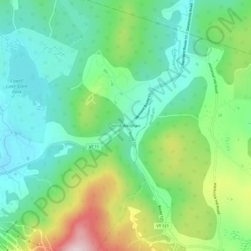
Name: North Windham topographic map, elevation, terrain.
Average elevation: 1,699 ft
Minimum elevation: 1,263 ft
Maximum elevation: 2,667 ft
Windham County trails, hiking, mountain biking, running and outdoor activities
Other topographic maps
Click on a map to view its topography, its elevation and its terrain.
South Londonderry
United States > Vermont > Windham County > Londonderry > South Londonderry Village Historic District
Average elevation: 1,198 ft