Geolocate

Bette topographic map

Click on the map to display elevation.

About this map

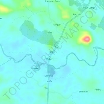
Name: Bette topographic map, elevation, terrain.

Location: Bette, Senjeh, Bomi County, Liberia (6.76755 -10.86415 6.80755 -10.82415)

Average elevation: 128 ft

Minimum elevation: 69 ft

Maximum elevation: 469 ft

Gear up for your next adventure:

🛶Inflatable Kayak - Portable kayak for rivers, lakes, and expeditions
🧥Men's Rain Shells - Premium waterproof and breathable jackets for mountain weather
🧯Emergency Survival Kit - All‑in‑one survival essentials for the backcountry
Backpacking Tent - Lightweight and durable tent for multi‑day hikes
🌲Outdoor Survival Books - Best books on survival skills

As an Amazon Associate, this site earns from qualifying purchases at no extra cost to you.