Geolocate

San Rafael topographic map

Click on the map to display elevation.

About this map

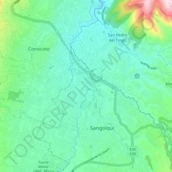
Name: San Rafael topographic map, elevation, terrain.

Location: San Rafael, Sangolquí, Rumiñahui, Pichincha, 171102, Ecuador (-0.34941 -78.49577 -0.26941 -78.41577)

Average elevation: 8,323 ft

Minimum elevation: 7,822 ft

Maximum elevation: 10,210 ft

Gear up for your next adventure:

🪶Trail Camera - Capture wildlife on your hikes
🎒Trekking Poles - Sturdy poles for balance and stability on rough terrain
🧦Merino Wool Socks - Moisture-wicking, blister-preventing socks for long treks
🪶Paracord Bracelet - Survival bracelet with built‑in tools
🪑Ultralight Camp Chairs - Portable seating for resting after a long day of mapping

As an Amazon Associate, this site earns from qualifying purchases at no extra cost to you.