
Ogema topographic map
Interactive map
Click on the map to display elevation.
About this map
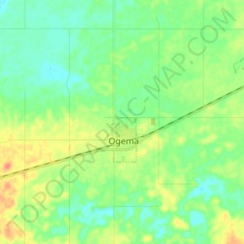
Name: Ogema topographic map, elevation, terrain.
Location: Ogema, Census Division No. 2, Saskatchewan, Canada (49.53949 -104.95555 49.61949 -104.87555)
Average elevation: 2,362 ft
Minimum elevation: 2,310 ft
Maximum elevation: 2,464 ft