Geolocate

Nahul topographic map

Click on the map to display elevation.

About this map

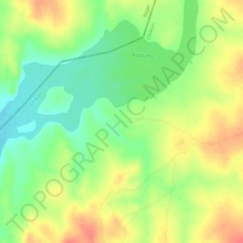
Name: Nahul topographic map, elevation, terrain.

Location: Nahul, Chikun, Kaduna, Nigeria (10.25750 7.02237 10.29750 7.06237)

Average elevation: 1,575 ft

Minimum elevation: 1,470 ft

Maximum elevation: 1,690 ft

Gear up for your next adventure:

📦Dry Bags Set - Waterproof storage for electronics and clothes
🖼️Topo Map Wall Art - Decorative topographic prints of famous peaks and regions
🪵Folding Camp Saw - Compact saw for wood and campsite work
🥾Women's Hiking Boots - Top-rated trail boots with ankle support and superior grip
🧺Microfiber Travel Towels - Compact and fast-drying towels for trail use

As an Amazon Associate, this site earns from qualifying purchases at no extra cost to you.