Geolocate

Semiliguda topographic map

Click on the map to display elevation.

About this map

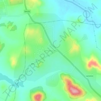
Name: Semiliguda topographic map, elevation, terrain.

Location: Semiliguda, Similiguda, Koraput, Odisha, 764036, India (18.68644 82.83123 18.72644 82.87123)

Average elevation: 2,943 ft

Minimum elevation: 2,805 ft

Maximum elevation: 3,320 ft

Gear up for your next adventure:

🏫Relief Map Kits - Hands-on tools for teaching landforms and elevation
🛰️Handheld GPS Units - Professional satellite navigators for precise backcountry mapping
🎒Outdoor Daypacks - Lightweight backpacks designed for carrying maps and essential gear
🧤Tactile Hiking Gloves - Keep hands warm while operating GPS and smartphone screens
🛏️Cold Weather Sleeping Bag - Warm sleeping bag for cold conditions

As an Amazon Associate, this site earns from qualifying purchases at no extra cost to you.