Geolocate

Bantwal topographic map

Click on the map to display elevation.

About this map

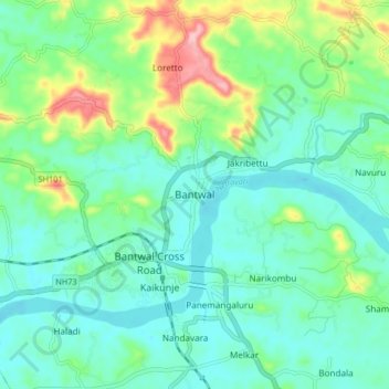
Name: Bantwal topographic map, elevation, terrain.

Location: Bantwal, Dakshina Kannada, Karnataka, 574211, India (12.85538 75.00086 12.93538 75.08086)

Average elevation: 135 ft

Minimum elevation: 7 ft

Maximum elevation: 522 ft

Gear up for your next adventure:

🧤Hiking Gloves - Protective gloves for rugged trails
🔦Powerful Headlamps - Ultra-bright hands-free lighting for night navigation
📷Action Camera - Capture your outdoor adventures in HD
❄️Traction Cleats - Prevent slips on icy trails during winter hikes
📷Action Cameras - Rugged cameras to document your journeys across rugged terrain

As an Amazon Associate, this site earns from qualifying purchases at no extra cost to you.