
Cabo Polonio topographic map
Interactive map
Click on the map to display elevation.
About this map
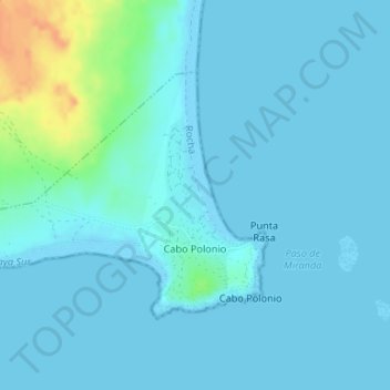
Name: Cabo Polonio topographic map, elevation, terrain.
Location: Cabo Polonio, Rocha, 27200, Uruguai (-34.40780 -53.80956 -34.39042 -53.77635)
Average elevation: 16 ft
Minimum elevation: -3 ft
Maximum elevation: 128 ft
Other topographic maps
Click on a map to view its topography, its elevation and its terrain.