
Thank you for supporting this site ❤️
Make a donation
Make a donation
Gear up for your next adventure:
As an Amazon Associate, this site earns from qualifying purchases at no extra cost to you.
Ti- n-Benan topographic map
Click on the map to display elevation.
Thank you for supporting this site ❤️
Make a donation
Make a donation
Gear up for your next adventure:
As an Amazon Associate, this site earns from qualifying purchases at no extra cost to you.
About this map
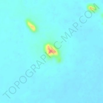
Name: Ti- n-Benan topographic map, elevation, terrain.
Location: Ti- n-Benan, Tiris Zemmour, Mauritania (25.07612 -11.62587 25.07622 -11.62577)
Average elevation: 1,096 ft
Minimum elevation: 1,066 ft
Maximum elevation: 1,345 ft
Thank you for supporting this site ❤️
Make a donation
Make a donation
Gear up for your next adventure:
As an Amazon Associate, this site earns from qualifying purchases at no extra cost to you.