
Thank you for supporting this site ❤️
Make a donation
Make a donation
Gear up for your next adventure:
As an Amazon Associate, this site earns from qualifying purchases at no extra cost to you.
Sedley topographic map
Click on the map to display elevation.
Thank you for supporting this site ❤️
Make a donation
Make a donation
Gear up for your next adventure:
As an Amazon Associate, this site earns from qualifying purchases at no extra cost to you.
About this map
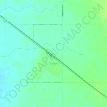
Name: Sedley topographic map, elevation, terrain.
Location: Sedley, Saskatchewan, S0G 4K0, Canada (50.16356 -104.02267 50.17820 -104.00849)
Average elevation: 1,959 ft
Minimum elevation: 1,939 ft
Maximum elevation: 1,978 ft
Thank you for supporting this site ❤️
Make a donation
Make a donation
Gear up for your next adventure:
As an Amazon Associate, this site earns from qualifying purchases at no extra cost to you.