
Raalte topographic map
Click on the map to display elevation.
About this map
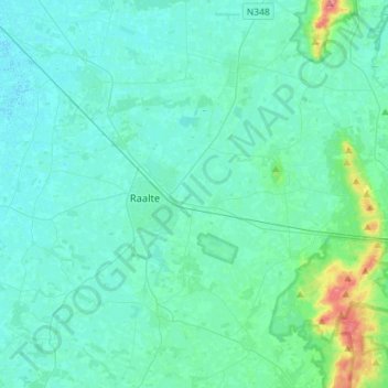
Name: Raalte topographic map, elevation, terrain.
Location: Raalte, Overijssel, Netherlands (52.30052 6.14415 52.47439 6.40517)
Average elevation: 33 ft
Minimum elevation: -3 ft
Maximum elevation: 243 ft
Other topographic maps
Click on a map to view its topography, its elevation and its terrain.