
Thank you for supporting this site ❤️
Make a donation
Make a donation
Gear up for your next adventure:
As an Amazon Associate, this site earns from qualifying purchases at no extra cost to you.
Ban Non Sa Wat topographic map
Click on the map to display elevation.
Thank you for supporting this site ❤️
Make a donation
Make a donation
Gear up for your next adventure:
As an Amazon Associate, this site earns from qualifying purchases at no extra cost to you.
About this map
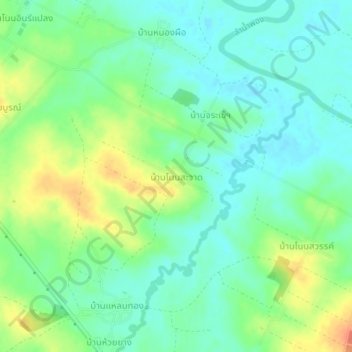
Name: Ban Non Sa Wat topographic map, elevation, terrain.
Location: Ban Non Sa Wat, Khon Kaen Province, Thailand (16.70729 102.67550 16.74729 102.71550)
Average elevation: 587 ft
Minimum elevation: 535 ft
Maximum elevation: 679 ft
Thank you for supporting this site ❤️
Make a donation
Make a donation
Gear up for your next adventure:
As an Amazon Associate, this site earns from qualifying purchases at no extra cost to you.