
Amcelle topographic map
Click on the map to display elevation.
About this map
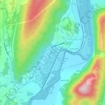
Name: Amcelle topographic map, elevation, terrain.
Average elevation: 955 ft
Minimum elevation: 614 ft
Maximum elevation: 1,847 ft
Allegany County trails, hiking, mountain biking, running and outdoor activities
Other topographic maps
Click on a map to view its topography, its elevation and its terrain.
County Fairgrounds
United States > Maryland > Allegany County > Potomac Park > Cedar Cliff
Average elevation: 899 ft