
Walnut topographic map
Click on the map to display elevation.
About this map
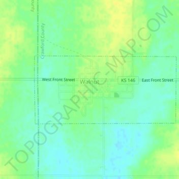
Name: Walnut topographic map, elevation, terrain.
Location: Walnut, Crawford County, Kansas, United States (37.59508 -95.08854 37.60534 -95.06153)
Average elevation: 925 ft
Minimum elevation: 896 ft
Maximum elevation: 958 ft
Crawford County trails, hiking, mountain biking, running and outdoor activities
Other topographic maps
Click on a map to view its topography, its elevation and its terrain.
Opolis
United States > Kansas > Crawford County
Opolis is located in the South Eastern corner of the state of Kansas close to the Missouri state line, approximately 133 miles (210 km) .due south of Kansas City, KS at latitude 37.344 and longitude -94.621. It has an estimated population of 117 with 54 houses (based on a zipcode estimate from the year 2000)…
Average elevation: 919 ft