Geolocate

Tambadi topographic map

Click on the map to display elevation.

About this map

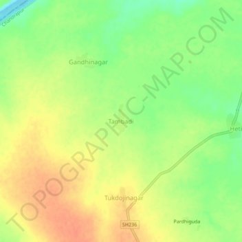
Name: Tambadi topographic map, elevation, terrain.

Location: Tambadi, Korpana, Chandrapur, Maharashtra, India (19.76291 78.95503 19.80291 78.99503)

Average elevation: 666 ft

Minimum elevation: 584 ft

Maximum elevation: 732 ft

Gear up for your next adventure:

🏕️Family Camping Gear - Essentials for group camping trips
🪵Folding Camp Saw - Compact saw for wood and campsite work
🪶Compact Camp Shovel - Folding shovel for campsite tasks
🥾Women's Hiking Boots - Top-rated trail boots with ankle support and superior grip
🧢Sun Protection Hats - Wide-brimmed and UPF-rated hats for high-altitude sun safety

As an Amazon Associate, this site earns from qualifying purchases at no extra cost to you.