
Thank you for supporting this site ❤️
Make a donation
Make a donation
Gear up for your next adventure:
As an Amazon Associate, this site earns from qualifying purchases at no extra cost to you.
Olveiroa topographic map
Click on the map to display elevation.
Thank you for supporting this site ❤️
Make a donation
Make a donation
Gear up for your next adventure:
As an Amazon Associate, this site earns from qualifying purchases at no extra cost to you.
About this map
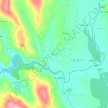
Name: Olveiroa topographic map, elevation, terrain.
Location: Olveiroa, Dumbría, Fisterra, A Corogne, Galice, 15151, Espagne (42.94685 -9.05966 42.98685 -9.01966)
Average elevation: 988 ft
Minimum elevation: 748 ft
Maximum elevation: 1,558 ft
Thank you for supporting this site ❤️
Make a donation
Make a donation
Gear up for your next adventure:
As an Amazon Associate, this site earns from qualifying purchases at no extra cost to you.