
Setermoen topographic map
Click on the map to display elevation.
About this map
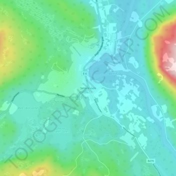
Name: Setermoen topographic map, elevation, terrain.
Location: Setermoen, Bardu, Troms og Finnmark, 9360, Norway (68.84151 18.32639 68.88151 18.36639)
Average elevation: 407 ft
Minimum elevation: 187 ft
Maximum elevation: 1,348 ft