Geolocate

Pilcocancha topographic map

Click on the map to display elevation.

About this map

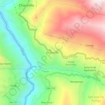
Name: Pilcocancha topographic map, elevation, terrain.

Location: Pilcocancha, Puca Puca, Chavinillo, Yarowilca, Huánuco, Perú (-9.89680 -76.61823 -9.85680 -76.57823)

Average elevation: 11,624 ft

Minimum elevation: 10,243 ft

Maximum elevation: 13,353 ft

Gear up for your next adventure:

🧤Tactile Hiking Gloves - Keep hands warm while operating GPS and smartphone screens
📱Solar Portable Charger - Solar power bank for charging devices off‑grid
🛠️Outdoor Gear Repair Kit - Essential tools to fix gear on the trail
🧭Hiking Compass - Precision compass for reliable navigation in the wilderness
🔭Stargazing Telescopes - Perfect for camping in low-light pollution areas shown on maps

As an Amazon Associate, this site earns from qualifying purchases at no extra cost to you.