
Carthage topographic map
Click on the map to display elevation.
About this map
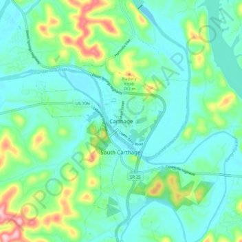
Name: Carthage topographic map, elevation, terrain.
Location: Carthage, Smith County, Tennessee, 37030, United States (36.21228 -85.99165 36.29228 -85.91165)
Average elevation: 600 ft
Minimum elevation: 440 ft
Maximum elevation: 1,119 ft
Smith County trails, hiking, mountain biking, running and outdoor activities