
Sills topographic map
Click on the map to display elevation.
About this map
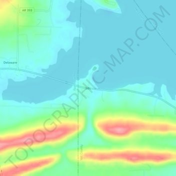
Name: Sills topographic map, elevation, terrain.
Location: Sills, Yell County, Arkansas, United States (35.25786 -93.29712 35.29786 -93.25712)
Average elevation: 420 ft
Minimum elevation: 335 ft
Maximum elevation: 673 ft
Yell County trails, hiking, mountain biking, running and outdoor activities
Other topographic maps
Click on a map to view its topography, its elevation and its terrain.