Geolocate

Rondo topographic map

Click on the map to display elevation.

About this map

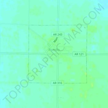
Name: Rondo topographic map, elevation, terrain.

Location: Rondo, Lee County, Arkansas, 72355, United States (34.65012 -90.82972 34.66474 -90.81186)

Average elevation: 210 ft

Minimum elevation: 197 ft

Maximum elevation: 226 ft

Lee County trails, hiking, mountain biking, running and outdoor activities

Gear up for your next adventure:

🔥Fast-Boil Camping Stoves - Efficient cooking systems for quick trail meals
🏕️Family Camping Gear - Essentials for group camping trips
🎒Outdoor Daypacks - Lightweight backpacks designed for carrying maps and essential gear
🛰️Handheld GPS Units - Professional satellite navigators for precise backcountry mapping
🔭Telescopic Hiking Pole - Adjustable pole for hiking stability

As an Amazon Associate, this site earns from qualifying purchases at no extra cost to you.