
Make a donation
Gear up for your next adventure:
As an Amazon Associate, this site earns from qualifying purchases at no extra cost to you.
Dharasuram topographic map
Click on the map to display elevation.
Make a donation
Gear up for your next adventure:
As an Amazon Associate, this site earns from qualifying purchases at no extra cost to you.
Dharasuram
Airavateswara Temple faces problems of inundation after every downpour. Unimaginative municipal planning has resulted in the temple being at a lower elevation than the surrounding roads. This results in inundation during rains.
Make a donation
Gear up for your next adventure:
As an Amazon Associate, this site earns from qualifying purchases at no extra cost to you.
About this map
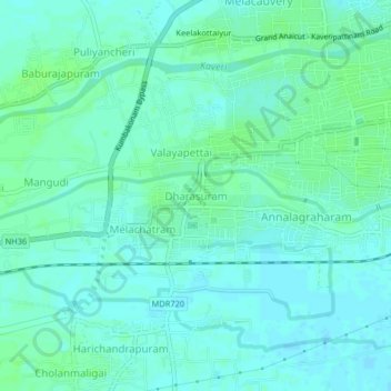
Name: Dharasuram topographic map, elevation, terrain.
Location: Dharasuram, Kumbakonam, Thanjavur, Tamil Nadu, 612302, India (10.93137 79.33692 10.97137 79.37692)
Average elevation: 92 ft
Minimum elevation: 79 ft
Maximum elevation: 108 ft
Make a donation
Gear up for your next adventure:
As an Amazon Associate, this site earns from qualifying purchases at no extra cost to you.