Geolocate

Callancas topographic map

Click on the map to display elevation.

About this map

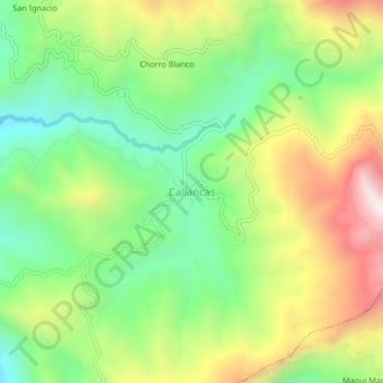
Name: Callancas topographic map, elevation, terrain.

Location: Callancas, San Pablo, Province of San Pablo, Cajamarca, Peru (-7.12874 -78.77313 -7.08874 -78.73313)

Average elevation: 9,921 ft

Minimum elevation: 8,891 ft

Maximum elevation: 11,404 ft

Gear up for your next adventure:

🛶Inflatable Kayak - Portable kayak for rivers, lakes, and expeditions
📶Vehicle Signal Boosters - Improve reception in rural areas while driving to trailheads
🗺️NatGeo Topo Maps - High-quality waterproof printed topographic maps of US Parks
🎁Geography Themed Gifts - Unique gift ideas for map lovers and geography enthusiasts
🎒Trekking Poles - Sturdy poles for balance and stability on rough terrain

As an Amazon Associate, this site earns from qualifying purchases at no extra cost to you.