
Calders topographic map
Interactive map
Click on the map to display elevation.
About this map
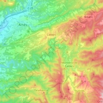
Name: Calders topographic map, elevation, terrain.
Location: Calders, Moianès, Barcelone, Catalogne, 08275, Espagne (41.74414 1.90369 41.80210 2.03544)
Average elevation: 1,552 ft
Minimum elevation: 833 ft
Maximum elevation: 2,654 ft
Other topographic maps
Click on a map to view its topography, its elevation and its terrain.