
乐秋乡 topographic map
Interactive map
Click on the map to display elevation.
About this map
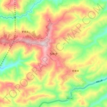
Name: 乐秋乡 topographic map, elevation, terrain.
Location: 乐秋乡, 南涧彝族自治县, 大理白族自治州, 云南省, 中国 (24.94971 100.29554 25.02971 100.37554)
Average elevation: 6,588 ft
Minimum elevation: 5,413 ft
Maximum elevation: 7,822 ft
Other topographic maps
Click on a map to view its topography, its elevation and its terrain.