
宝华镇 topographic map
Interactive map
Click on the map to display elevation.
About this map
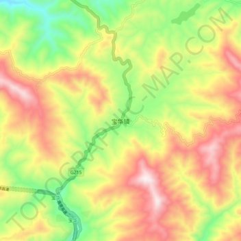
Name: 宝华镇 topographic map, elevation, terrain.
Location: 宝华镇, 南涧彝族自治县, 大理白族自治州, 云南省, 中国 (24.86999 100.44867 24.94999 100.52867)
Average elevation: 6,896 ft
Minimum elevation: 5,673 ft
Maximum elevation: 8,182 ft
Other topographic maps
Click on a map to view its topography, its elevation and its terrain.