Geolocate

Kallanai topographic map

Click on the map to display elevation.

About this map

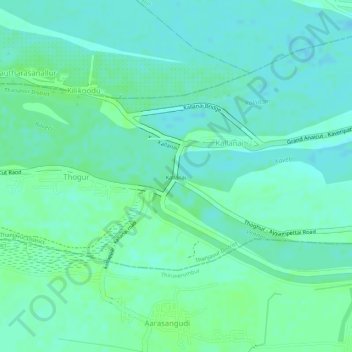
Name: Kallanai topographic map, elevation, terrain.

Location: Kallanai, Thiruvaiyaru, Thanjavur District, Tamil Nadu, India (10.82883 78.81718 10.83195 78.81905)

Average elevation: 197 ft

Minimum elevation: 180 ft

Maximum elevation: 213 ft

Gear up for your next adventure:

🧯Emergency Survival Kit - All‑in‑one survival essentials for the backcountry
🌡️Portable Weather Meter - Track weather conditions on the trail
🧢Outdoor Hiking Hat - Sun protection hat for outdoor explorers
📚Navigation Handbooks - Master the art of reading topographic maps and using a compass
👖Convertible Hiking Pants - Versatile zip-off pants for changing altitudes and temperatures

As an Amazon Associate, this site earns from qualifying purchases at no extra cost to you.