
Reichelsheim topographic map
Click on the map to display elevation.
About this map
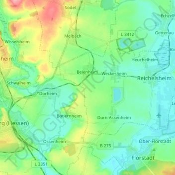
Name: Reichelsheim topographic map, elevation, terrain.
Location: Reichelsheim, Wetteraukreis, Hesse, 61203, Germany (50.32875 8.79828 50.37789 8.93841)
Average elevation: 472 ft
Minimum elevation: 387 ft
Maximum elevation: 689 ft