
Make a donation
Gear up for your next adventure:
As an Amazon Associate, this site earns from qualifying purchases at no extra cost to you.
Río topographic map
Click on the map to display elevation.
Make a donation
Gear up for your next adventure:
As an Amazon Associate, this site earns from qualifying purchases at no extra cost to you.
About this map
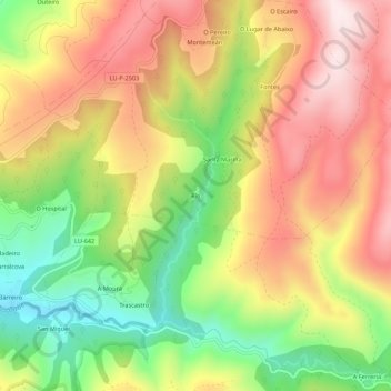
Name: Río topographic map, elevation, terrain.
Average elevation: 2,635 ft
Minimum elevation: 1,729 ft
Maximum elevation: 3,478 ft
Make a donation
Gear up for your next adventure:
As an Amazon Associate, this site earns from qualifying purchases at no extra cost to you.
Other topographic maps
Click on a map to view its topography, its elevation and its terrain.
Samos
Samos is near the eastern mountains of Galicia (the mountains of Lóuzara, Serra do Oribio and Mountains of Albola). The mean altitude is over 700 m and the highest elevation is the mountain of O Oribio at 1,443 m. The Sarria River, a tributary of the Miño River, collects water from the western slopes of the…
Average elevation: 2,434 ft
Make a donation
Gear up for your next adventure:
As an Amazon Associate, this site earns from qualifying purchases at no extra cost to you.