Geolocate

Checcasa topographic map

Click on the map to display elevation.

About this map

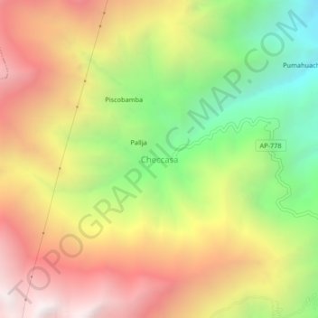
Name: Checcasa topographic map, elevation, terrain.

Location: Checcasa, Justo Apu Sahuaraura, Aymaraes, Apurímac, Perú (-14.14774 -73.21657 -14.10774 -73.17657)

Average elevation: 11,417 ft

Minimum elevation: 8,140 ft

Maximum elevation: 14,606 ft

Gear up for your next adventure:

🧴Hand Sanitizer - Keep hands clean while hiking
Backpacking Tents - Weight-optimized shelters for multi-day topographic surveys
🌧️Backpack Rain Cover - Keep gear dry in wet weather
🚑Emergency Bivvies - Heat-reflective sleeping bags for survival situations
🪄Magnetic Compass - Accurate compass for navigation

As an Amazon Associate, this site earns from qualifying purchases at no extra cost to you.